Local before arrival
-
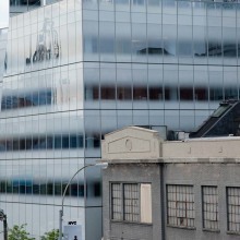
 © Martin Nicholas Kunz
 -
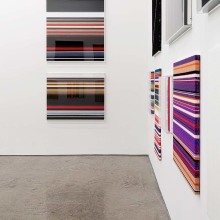
 © Martin Nicholas Kunz
 -
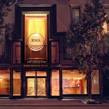
 © Martin Nicholas Kunz
 -
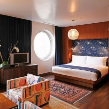
 © Martin Nicholas Kunz
 -
 © Martin Nicholas Kunz
 -
 © Martin Nicholas Kunz
 -
 © Martin Nicholas Kunz
 -
 © Martin Nicholas Kunz
 -
 © Martin Nicholas Kunz
 -
 © Martin Nicholas Kunz
 -
 © Martin Nicholas Kunz
 -
 © Martin Nicholas Kunz
 -
 © Martin Nicholas Kunz
THE HIGH LINE